Technical cookies are absolutely essential for the website to work properly. This category only includes cookies that guarantee the basic functions and security functions of the website. These cookies do not store any personal information.
Canet d'Adri (+ information)
2010 population: 618 inhabitants
Area: 44,4 km2
Elevation (m): 217
Latitude: 42 º 03 '56,50''N
Longitude: 2 º 73 '84,47''E
Population centers: Canet - Adri - Biert - Montcal - Montbó - Rocacorba
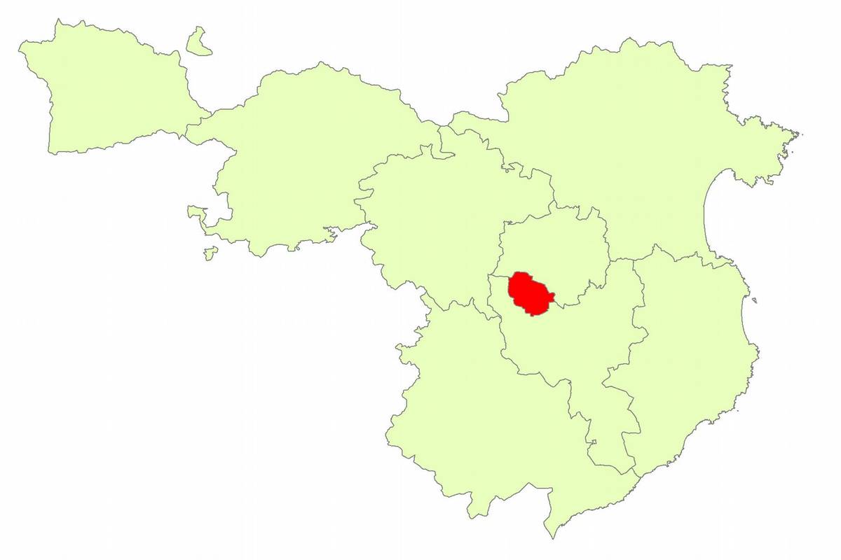
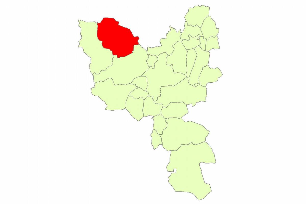
Canet d'Adri is located in the north of Sant Gregori. Its municipal area is 44.4 km2 and includes the village of Canet d'Adri and the old towns and parishes of Adri, Biert, Montbó, Montcal and Rocacorba, that is now uninhabited. The magnificent mountain that provides one of the most celebrated sights in the surrounding region is undoubtedly the bulk of Rocacorba at 985 meters. The landscape is articulated by houses, some with significant architectural value, and small villages around a landmark church. This type of landscaping provides a high historical value in terms of social and economic cohesion for Canet d'Adri.Canet d'Adri is watered by the stream of Canet. Among the waterfalls you have to take attention to the source named "La Torre". It is in a series of pools and potholes and contributes to one of the most unique places of this area.
CONTACT DETAILS
Council of Canet d'Adri
Av. Rocacorba, 21. - 972428280 - www.canet-adri.org - canet@ddgi.cat
Schedule: Monday to Friday from 10 to 14h.


